Saturday Stories
September 29, 2018
I
II
Think of a tic-tac-toe grid – the earth has criss-crossing imaginary lines called latitude (horizontal) and longitude (vertical). Both lines have their own 0 degrees – their own reference points. For latitude (east to west), it is the equator, the line circling the middle of the earth's circumference. For longitude (north to south), it is the Prime Meridian, which passes through the Royal Observatory in Greenwich, London among many places, including Spain and Burkina Faso. Most nations have been using it since 1884, though the IERS Reference Meridian, which is only 5.3 seconds east of the Greenwich line, is now being used by GPS (Global Positioning System) satellites.
III
Imagine a plane flying around the globe. If you go around the world from the prime meridian and back again, you would have gone 360 degrees – a complete circle. So a half-circle is 180 degrees. That longtitude line of 180 degrees is on the complete opposite of the prime meridian. (The 180th meridian, passing mostly through the Pacific Ocean, is also known as the International Date Line.) Now, imagine a watermelon cut in half from top to bottom – the prime meridian and the 180th meridian divides the earth into the western and eastern hemispheres.
IV
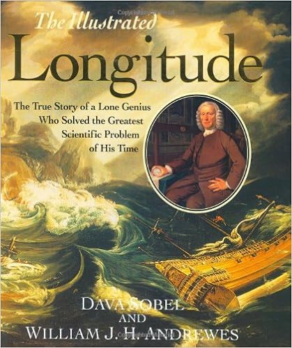
So ... clear so far. To get specific latitude coordinates, we start from the equator. Each latitude line is 1 degree, up North or down South, until 90 degrees at the pole. For longitude, each line from the prime meridian, east or west, is also 1 degree. Now ... imagine a chess board – the space between the horizontal and vertical lines are divided into 60 minutes, and of course, a minute is divided into 60 seconds. In other words, the spaces between the latitude and longitude lines are also grids for minutes and seconds. But what if we don't have the longitude? That was the problem for many centuries – countless men have died at sea simply because they could not know their location. When I read "Longitude: The True Story of A Lone Genius Who Solved The Greatest Scientific Problem of His Time" by award-winning science writer Dava Sobel, it made me appreciate even more the knowledge we have today. I feel deep gratitude to all the men and women, with some of the most brilliant minds in history like Galileo and Newton, who have used their own unique gifts to make this world a better – and safer – place for us all.
Photo courtesy of Amazon
No comments:
Post a Comment